Data Table Reference
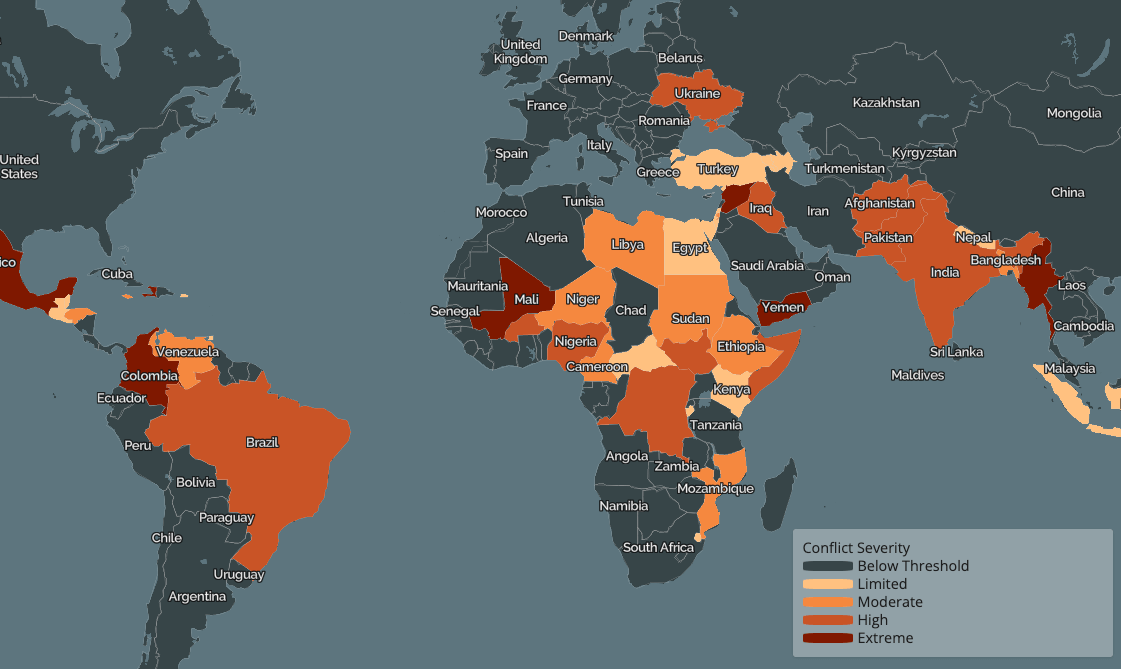
We would like to acknowledge the Armed Conflict Location & Event Data Project, or ACLED, for providing the information that we used in our displays. You are able to download our data set at this website.
We would also like to acknowledge The Humanitarian Data Exchange Project for providing
the geoJSON data that we used to map the boundaries of the Ukrainian administrative divisions and sub-divisions.
You are able to download the geoJSONS at this link:
https://data.humdata.org/dataset/geoboundaries-admin-boundaries-for-ukraine?
You may also learn more about the war at the links below:
